Karakoram Nomads
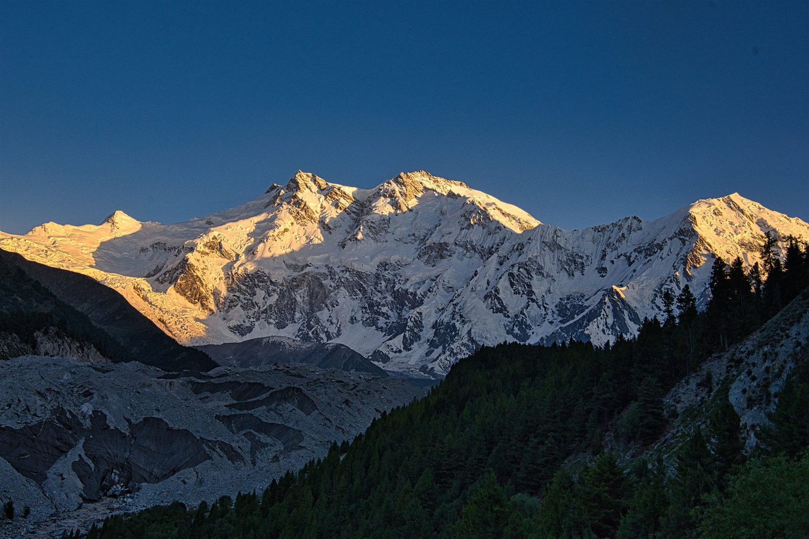
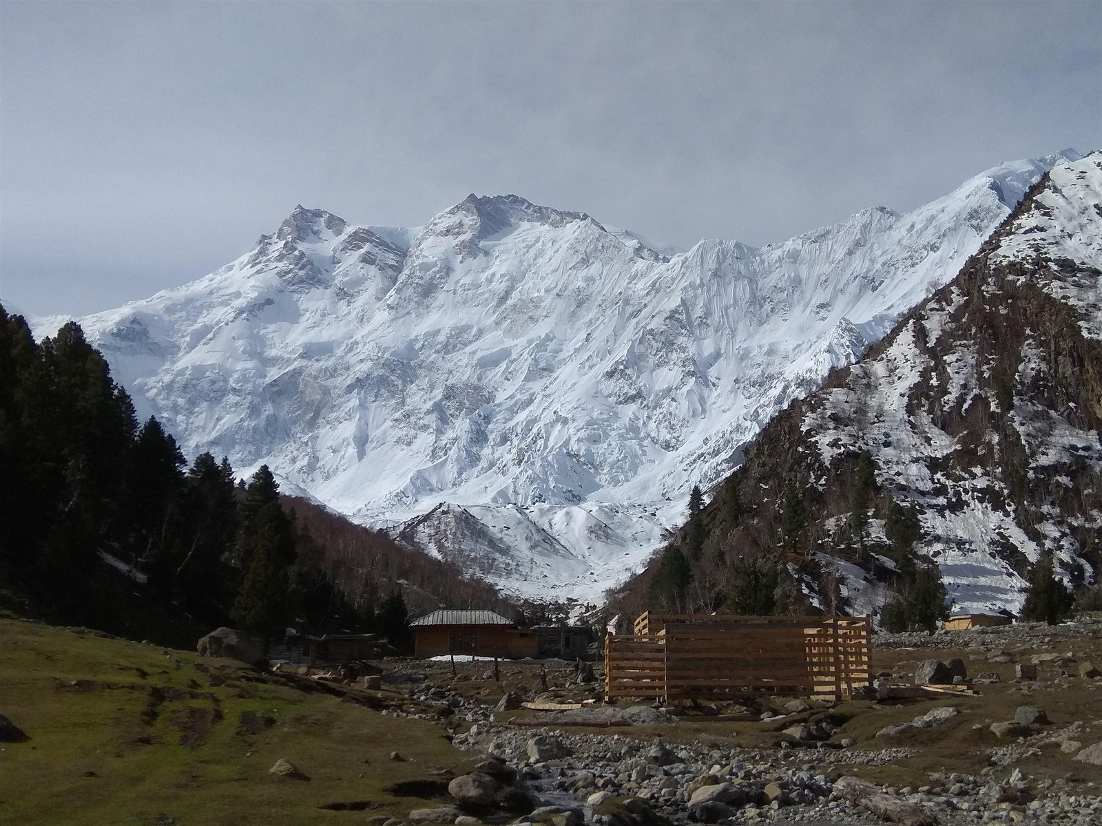
Alpenglow lighting the summit of Nanga Parbat above dark forest

Gilgit-Baltistan · 8,126 m summit

Nanga Parbat

8,126 metres, standing entirely alone.

The place

8,126 metres, standing entirely alone.

The ninth-highest mountain on earth and the western anchor of the Himalaya. It rises from the Indus at 1,200 metres to 8,126 in about twenty-five horizontal kilometres, which is a greater vertical relief than anywhere else on the planet.

There are three faces and three ways to see it. Raikot from the north, via Fairy Meadows. Rupal from the south, via Astore — the largest mountain wall in the world. Diamir from the west, and the least visited.

Thirty-one people died on it before the first ascent in 1953. Locals call it Diamer, king of the mountains. Nobody who has stood in front of it argues.

8,126
Metres above sea level
June – September
Best months
3 – 8 days
Worth staying
Grassland at Fairy Meadows with Nanga Parbat filling the horizon behind it
A snow-covered summit lit orange by the last minutes of sun
Rugged snow-covered peaks under a cloud-broken sky

What people do here

Worth the detour.

01

Raikot Base Camp

3,967 m, reached from Beyal in a long day.

02

Rupal meadow

Herrligkoffer base camp, below 4,600 metres of wall.

Journeys

Ways to travel here.

All 1 journey
A stone shelter at Beyal camp on the way to Nanga Parbat Base Camp Editor’s pick

Fairy Meadows · Gilgit-Baltistan

Fairy Meadows & Nanga Parbat

5 days Moderate Difficulty: Moderate, 2 out of 4 Max 10

Five days on the north side of the ninth-highest mountain in the world — the jeep road, the meadow, Beyal and the base camp viewpoint.

$520 per person

Next 29 Aug · 5 places left

Before you go

The practical part.

Getting there
Raikot Bridge on the KKH for the north side; Astore for the south.
Permits
Base camp treks need no permit. Any climbing above base camp requires a Ministry of Tourism permit.
Connectivity
None.
Seasons
Summer (June – September)

Comparing