Karakoram Nomads
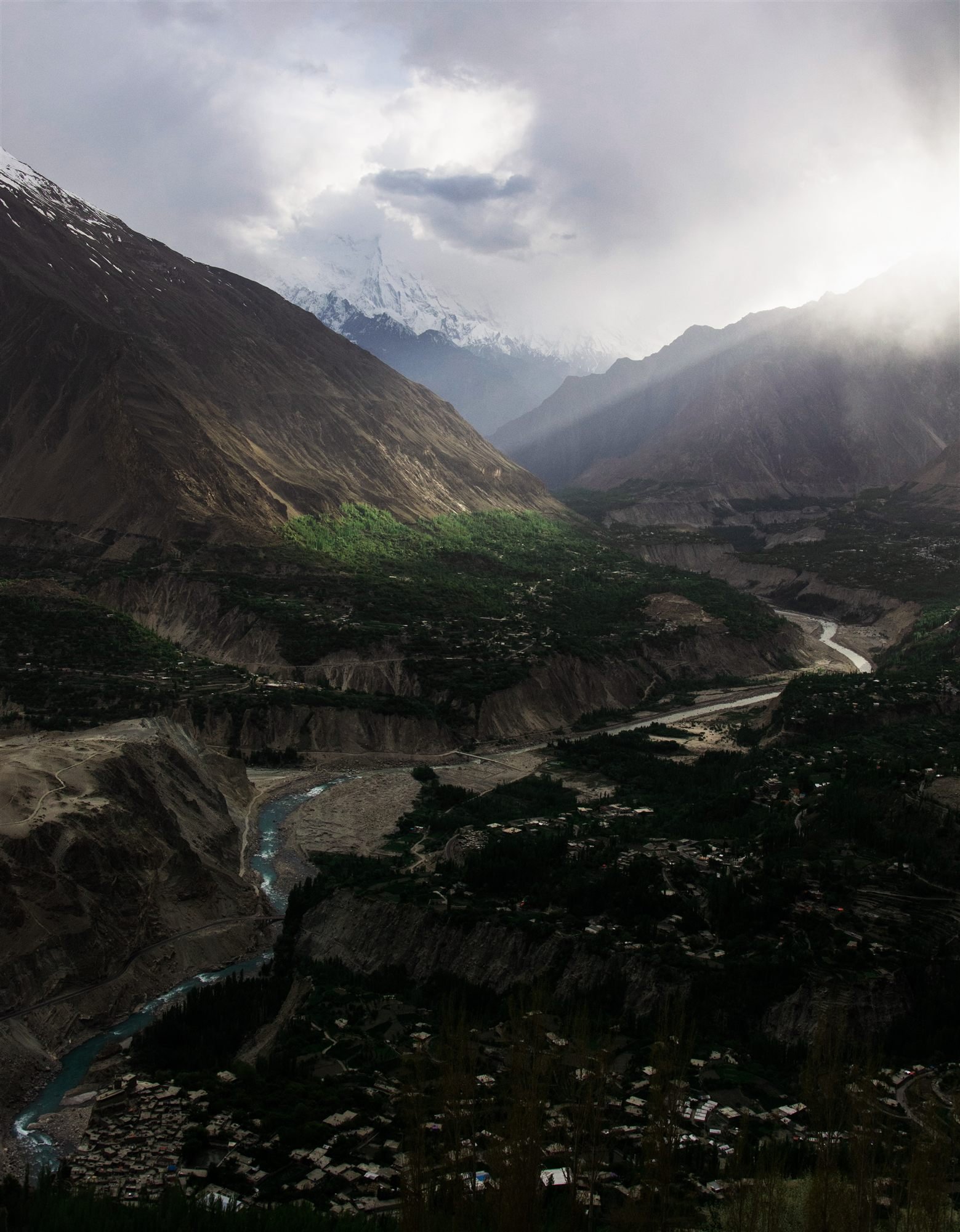
An overview of Karimabad and the Hunza River winding through the valley floor

Gilgit-Baltistan · 2,438 m at Karimabad

Hunza

Where apricot orchards meet the Karakoram.

The place

Where apricot orchards meet the Karakoram.

A single valley, forty kilometres long, with 7,000-metre mountains standing at either end of it. People have farmed the terraces here for a very long time, and the irrigation channels that make it possible are cut into cliffs above the Hunza River.

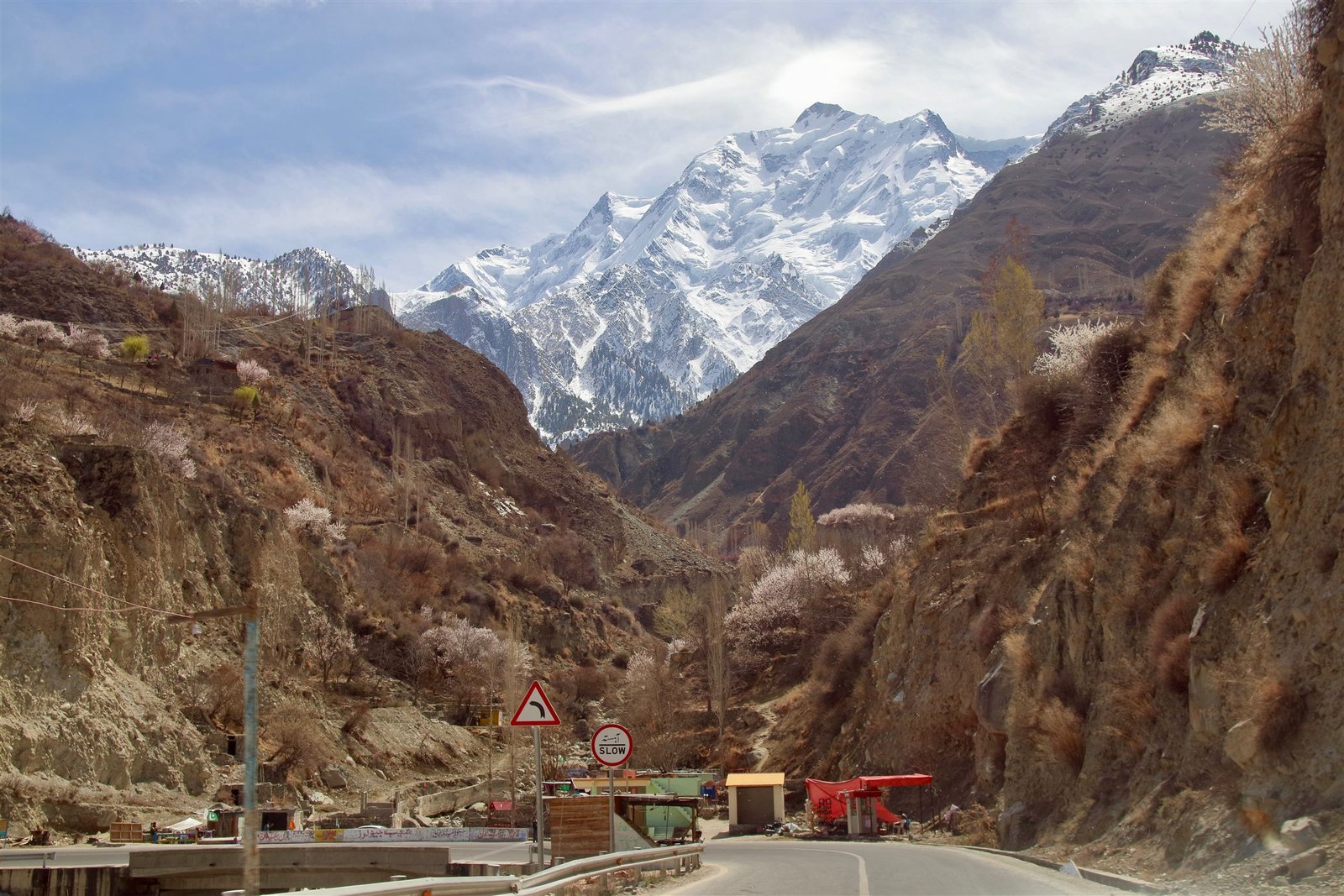
Karimabad sits on the north side of the valley, stacked up a slope beneath Ultar Sar, with Baltit Fort at the top of it and Altit Fort a few kilometres below. Across the river, Rakaposhi fills the sky — 7,788 metres, and close enough that from Minapin you look almost straight up at the ice.

The valley is unusually literate, unusually old, and unusually easy to travel in. Most people speak Burushaski, a language related to nothing else on earth. Guesthouses are family-run, the road is paved, and the walking starts within ten minutes of anywhere you might stay.

Spring brings apricot and cherry blossom through late March and April. Autumn turns the poplars and the terraces gold from the last week of September. Both are short. Both are the reason people come back.

2,438
Metres above sea level
April – October
Best months
4 – 7 days
Worth staying
An overview of Karimabad and the Hunza River winding through the valley floor
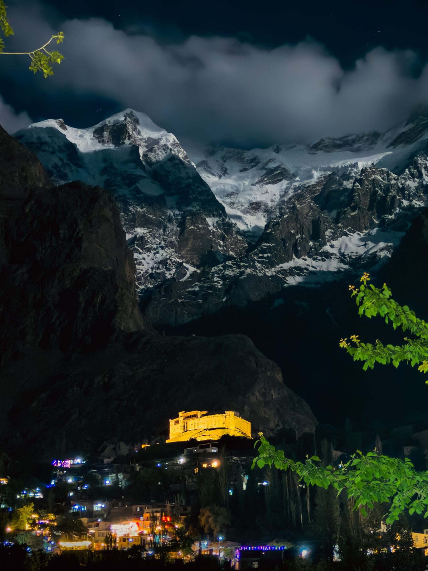
Baltit Fort lit gold at night beneath a snow peak above Karimabad
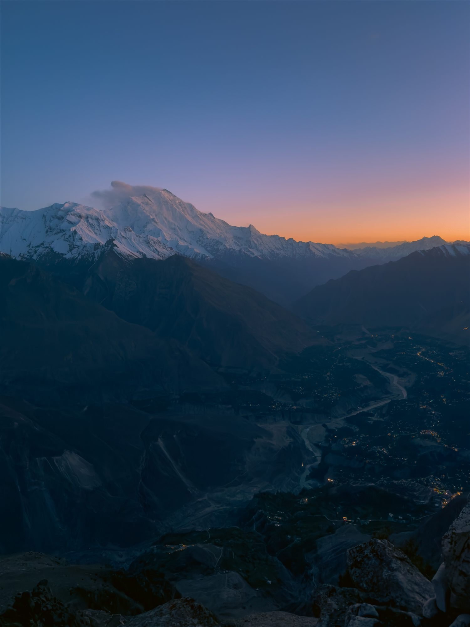
Karimabad at dusk, lights coming on in the valley beneath a snow peak
A traveller pointing out peaks from a viewpoint above the Hunza valley
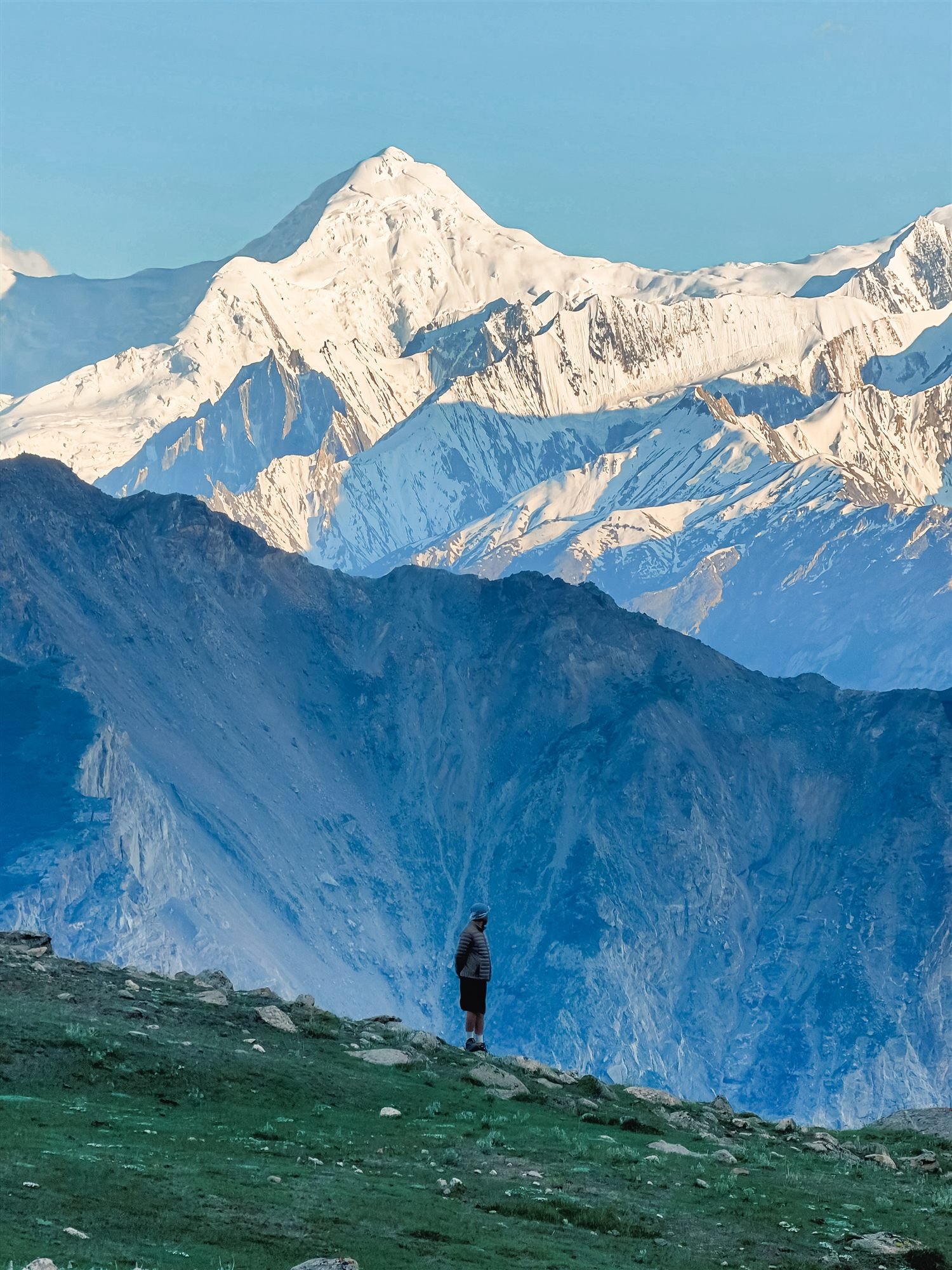
A hiker looking out over a deep valley toward a snow-capped peak at sunrise
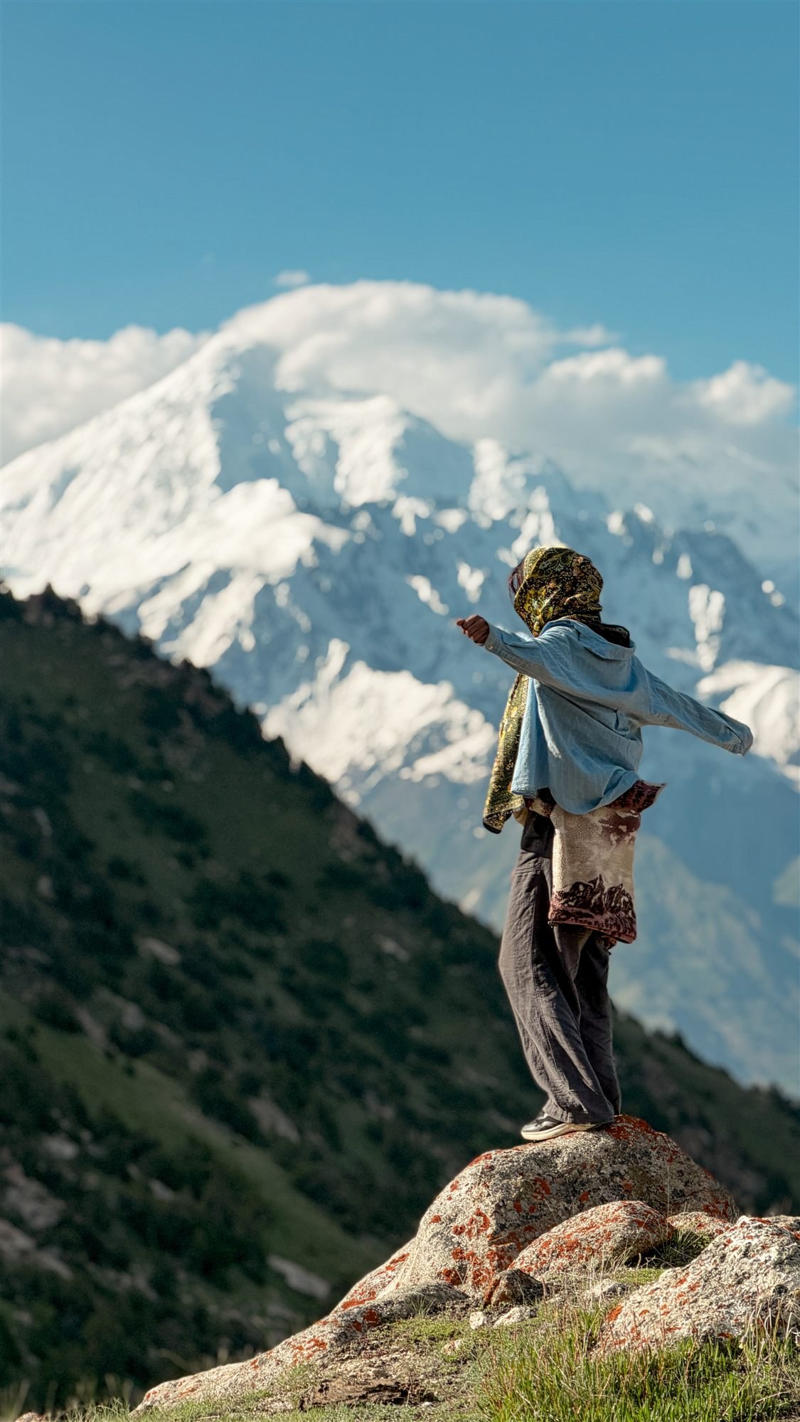
A woman on a lichen-covered boulder facing the Karakoram peaks above Hunza
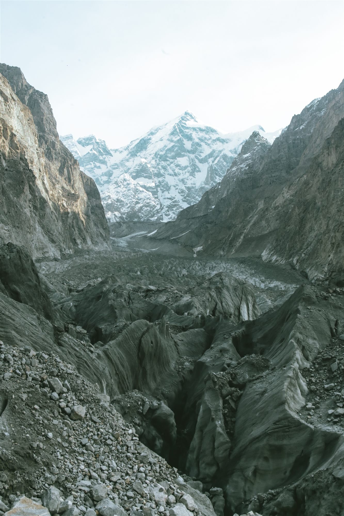
A trail through juniper forest above a glacier moraine, snow peak beyond
A cow grazing on a high pasture above Hunza with a snow peak behind
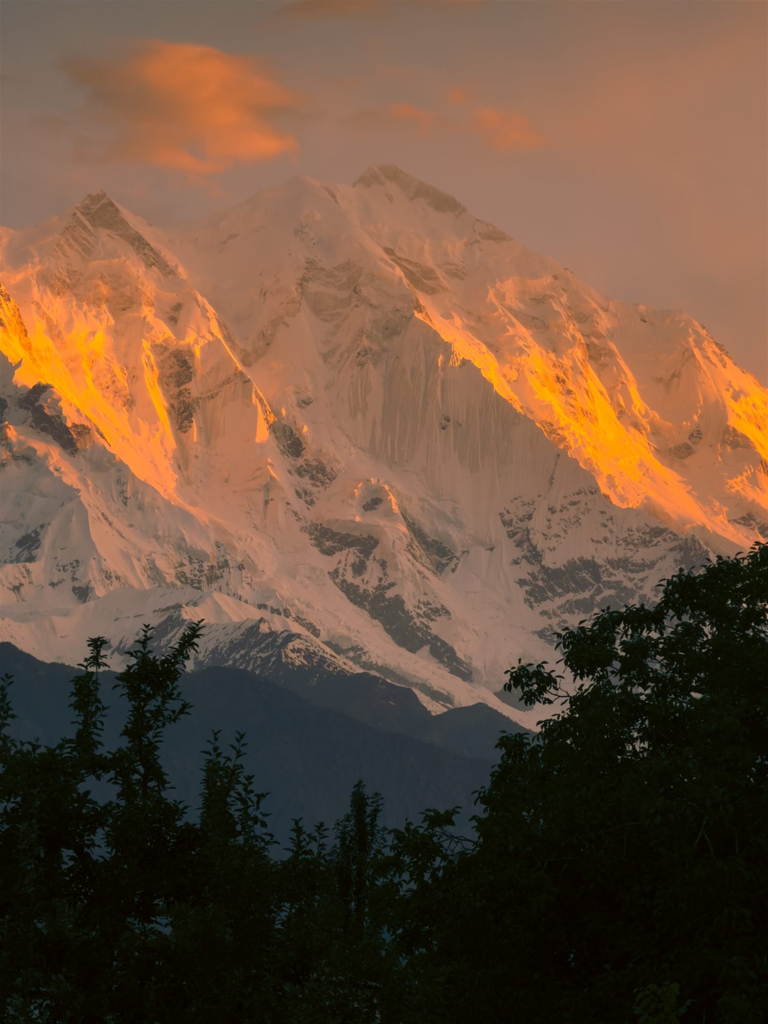
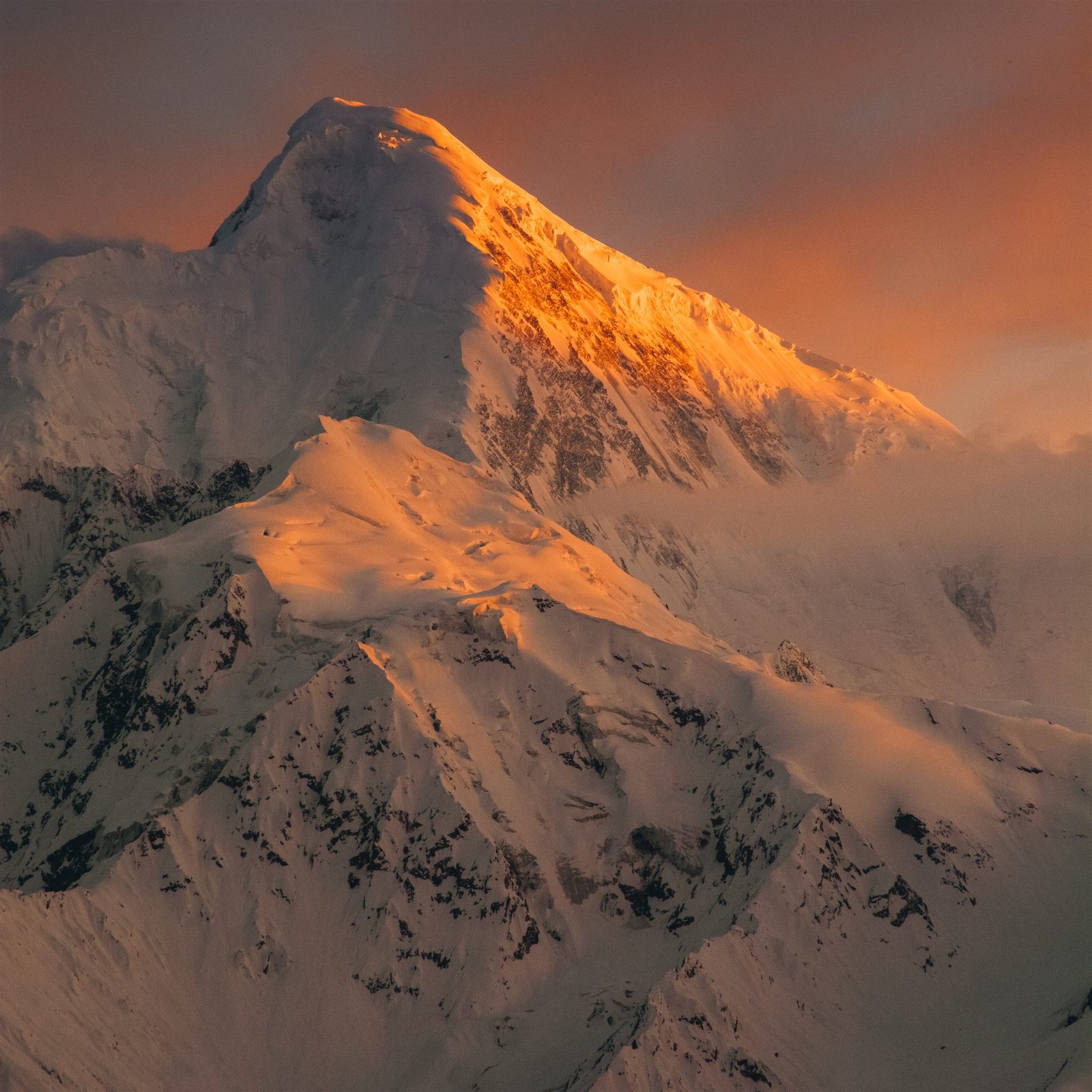
Alpenglow lighting the ridgelines of a snow peak above Hunza at sunset
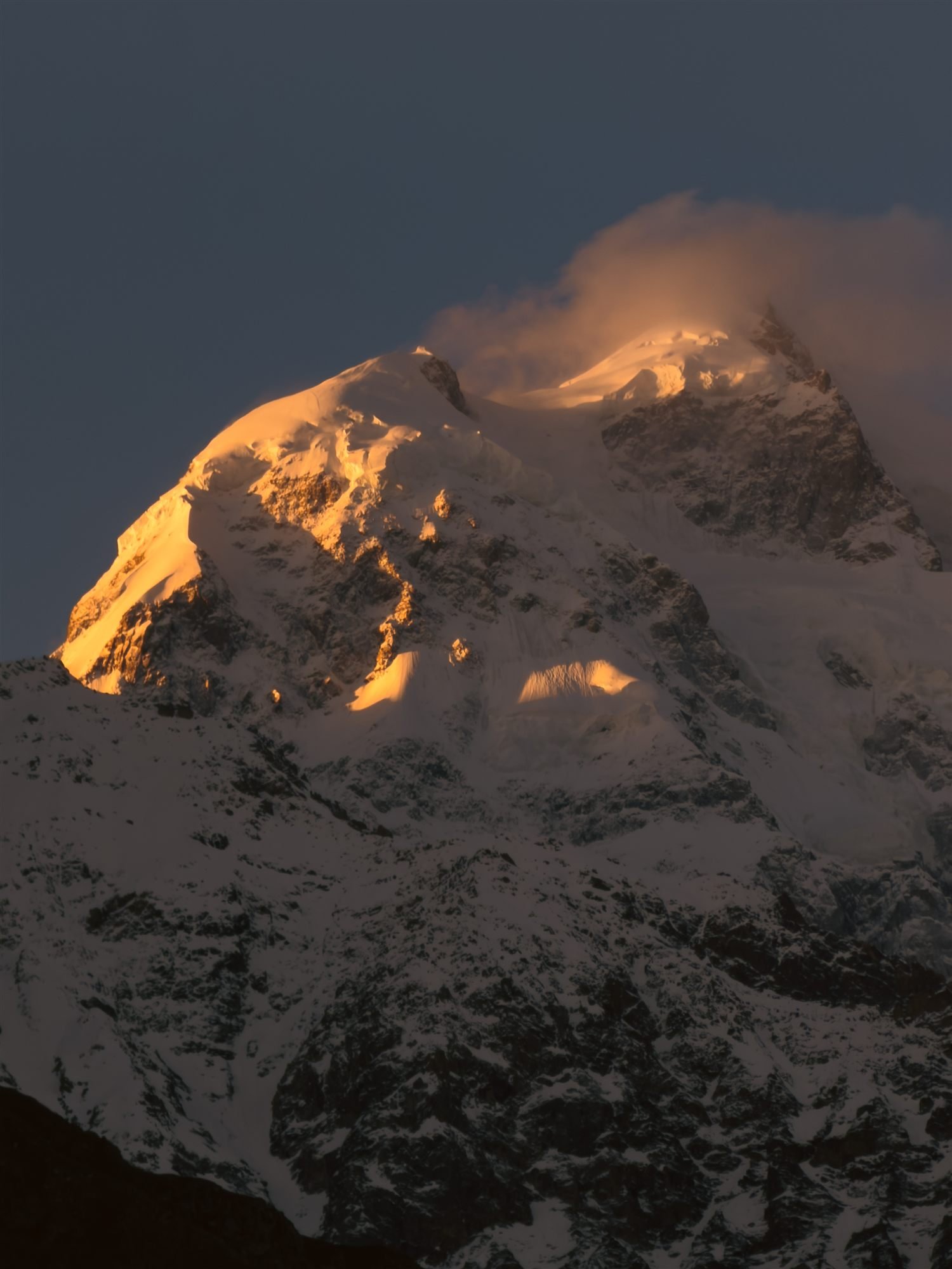
Sunset light striking the upper ridges of a Karakoram peak above Hunza
Close view of alpenglow on a snow ridge above Hunza at dusk
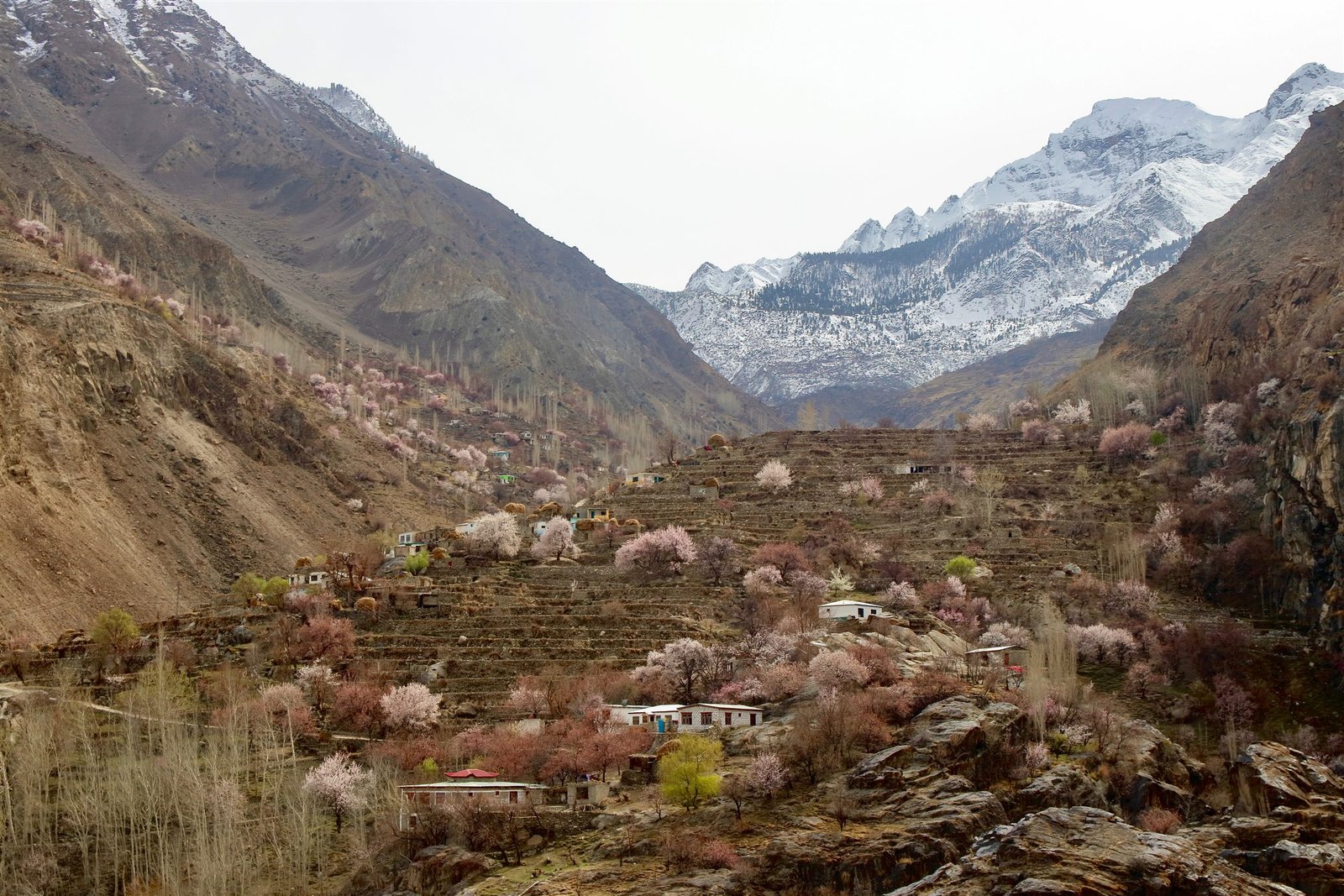
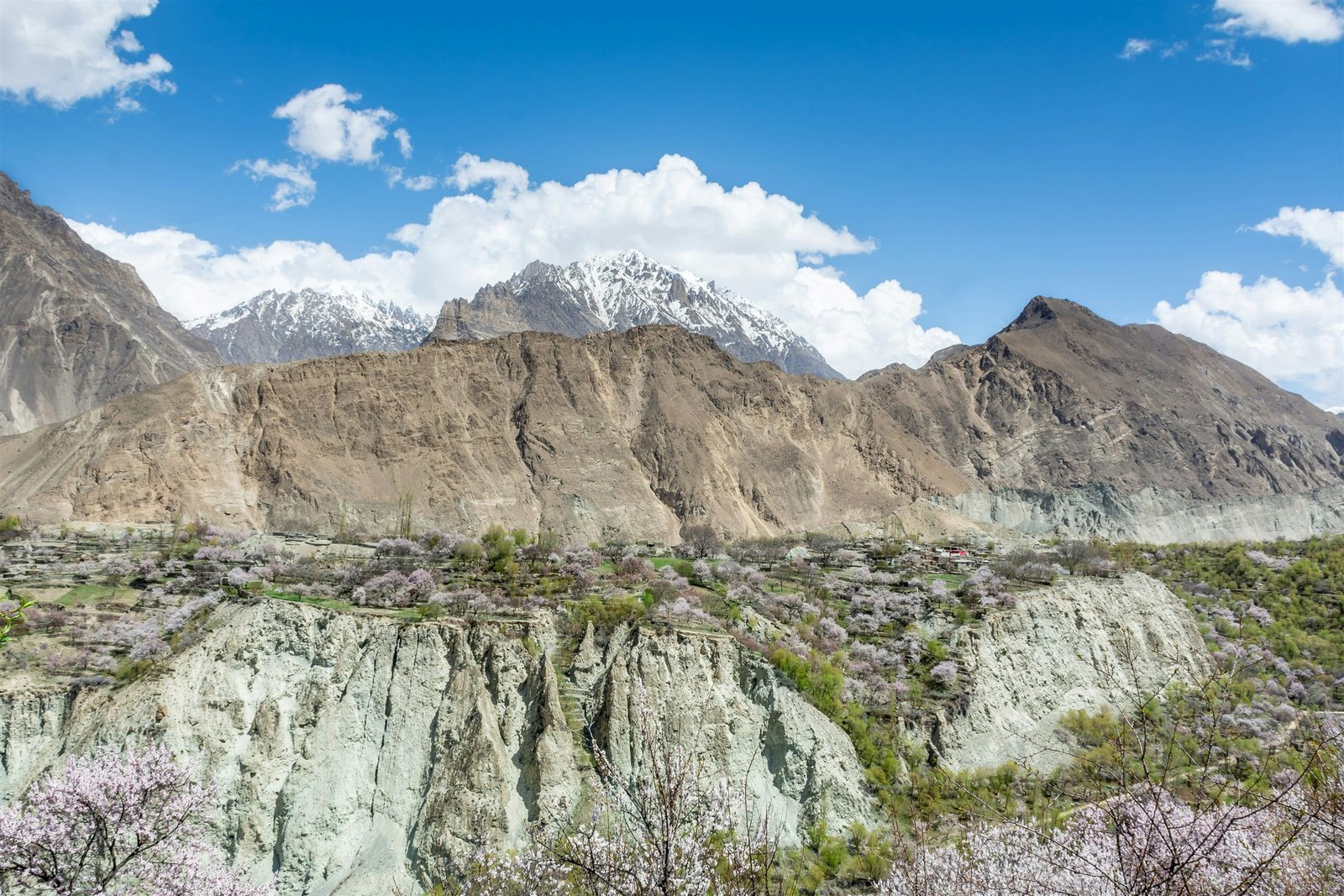
Apricot blossom scattered across a terraced valley below snow peaks in Hunza
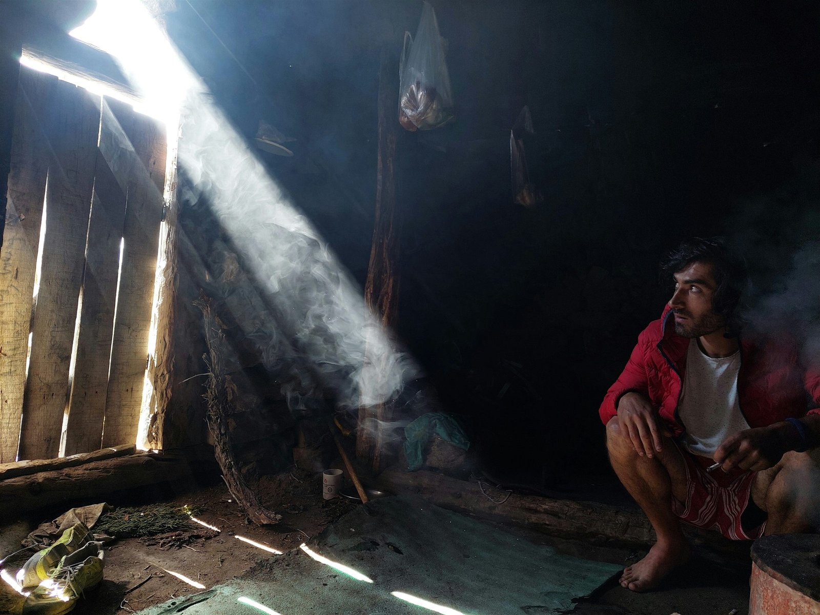
A man resting by a wood fire inside a mountain hut, lit by a shaft of light through the doorway
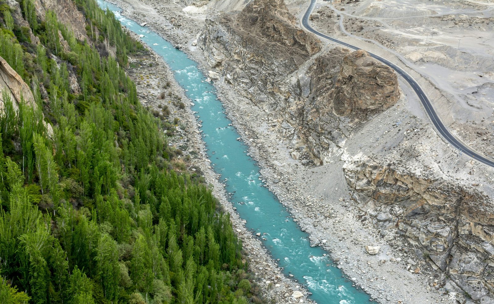
The turquoise Hunza River winding through a poplar-lined gorge beside the Karakoram Highway

What people do here

Worth the detour.

01

Baltit and Altit Forts

Two restored forts, 700 and 1,100 years old. The Altit restoration by the Aga Khan Trust is the better piece of work; go early, before the tour groups.

02

Eagle's Nest at first light

A twenty-minute drive above Duikar for the view down the valley. Rakaposhi, Diran, Golden Peak and Ultar all catch the sun within about eight minutes of each other.

03

Ultar Meadow

A steep four-hour walk from Karimabad to a shepherds' summer settlement below the Ultar glacier. No technical ground, a lot of ascent.

04

Attabad Lake

Formed by a landslide in 2010 that dammed the Hunza River and drowned four villages. Now improbably turquoise, with boats running from Shishkat.

Journeys

Ways to travel here.

All 6 journeys
Snow ridges rising above a village valley near Rakaposhi Editor’s pick

Nagar Valley · Gilgit-Baltistan

Rakaposhi Basecamp Trek

4 days Challenging Difficulty: Challenging, 3 out of 4 Max 8

Four days beneath Rakaposhi, walking through walnut orchards, alpine pastures and villages that sit directly beneath the Karakoram.

$420 per person

Next 5 Sep · 8 places left
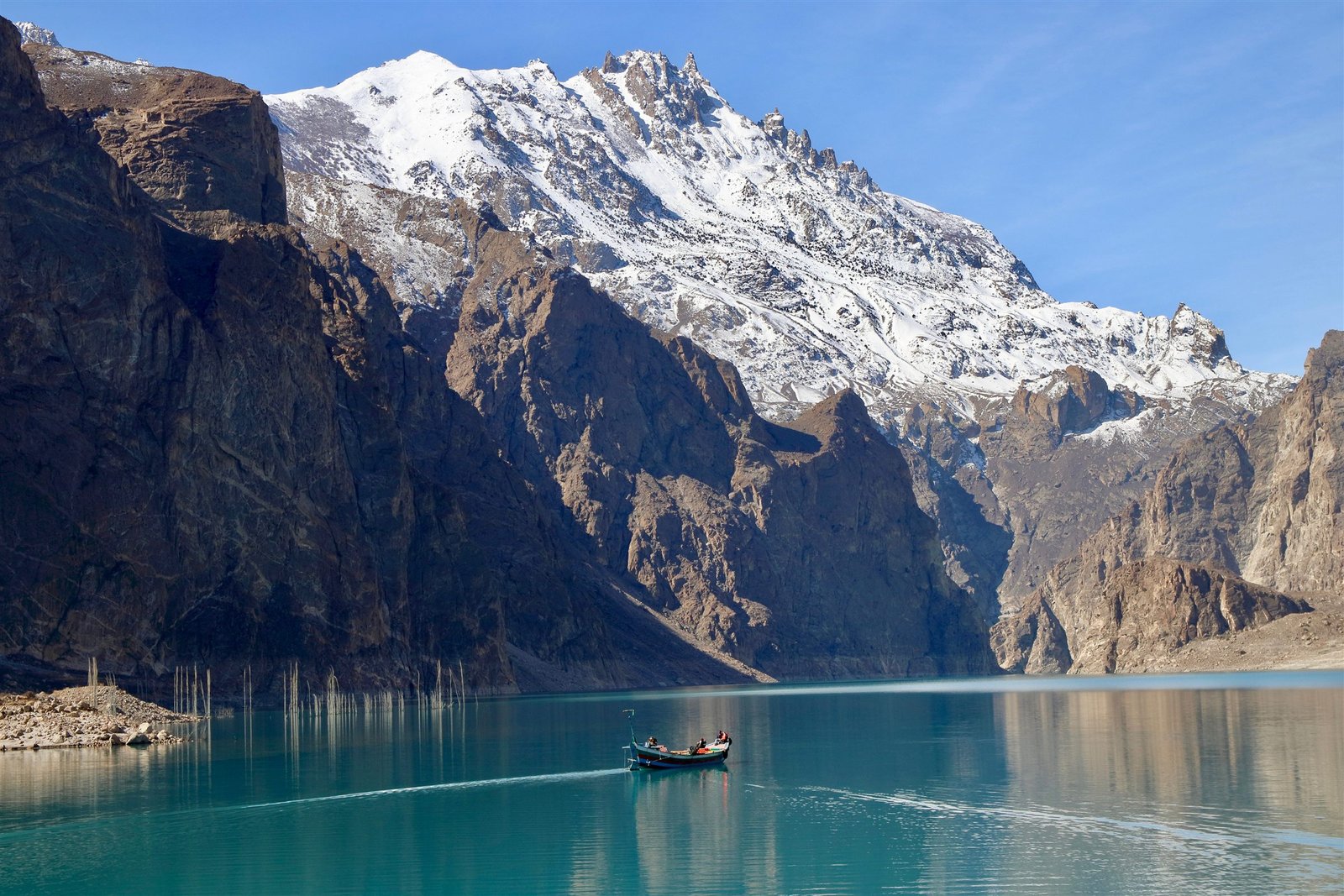
A wooden boat crossing Attabad Lake between steep rock walls and a snow peak Editor’s pick

Upper Hunza · Gilgit-Baltistan

Upper Hunza & Khunjerab

5 days Moderate Difficulty: Moderate, 2 out of 4 Max 12

Five days in Gojal — Passu, Borith, Sost and the pass at 4,693 metres, taken slowly enough that the altitude doesn't ruin it.

$610 per person

Next 7 Sep · 7 places left

Apricot blossom scattered across a terraced valley below snow peaks in Hunza Editor’s pick

Hunza · Gilgit-Baltistan

Hunza Spring Blossom

7 days Easy Difficulty: Easy, 1 out of 4 Max 10

Seven days in the valley during the two weeks the apricot trees are in flower — Karimabad, Nagar, Gulmit and the terraces above them.

$890 per person

Next 28 Mar · 6 places left

Apricot blossom scattered across terraced fields in Nagar with snow peaks behind

Nagar Valley · Gilgit-Baltistan

Rakaposhi Base Camp — Minapin Route

4 days Challenging Difficulty: Challenging, 3 out of 4 Max 12

The same shelf at 3,300 metres, run lean: bigger group, shared tents, and everything you don't strictly need left behind.

$390 per person

Next 8 Sep · 9 places left

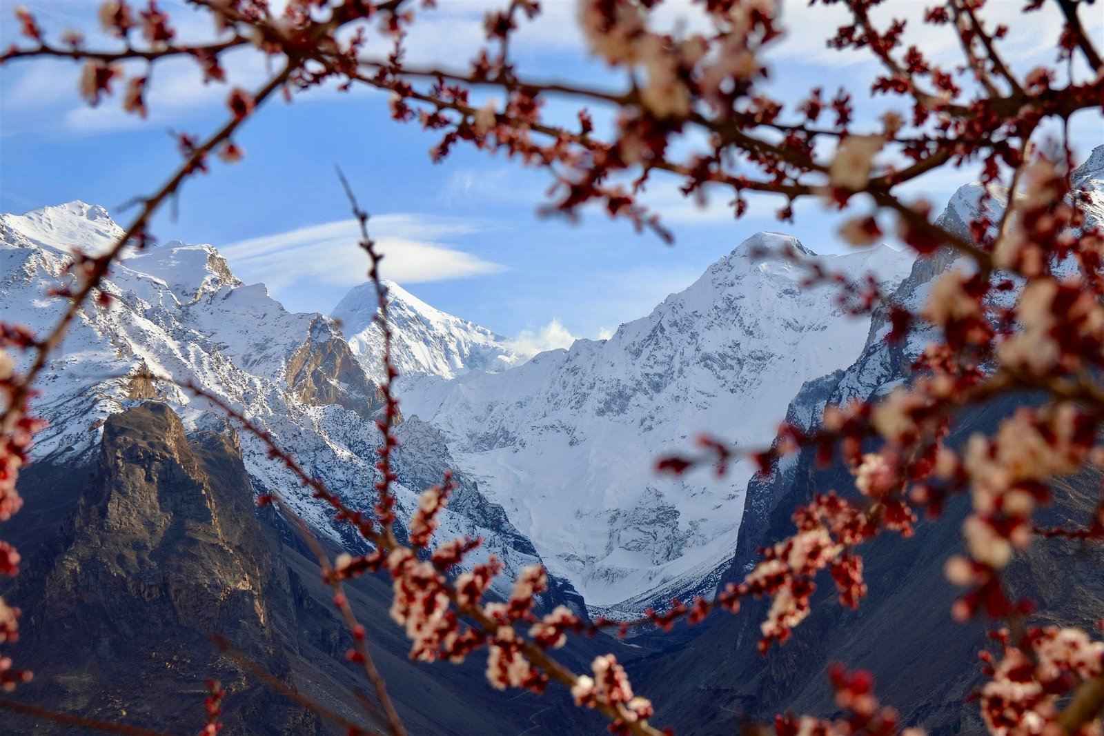
Snow peaks above Nagar framed by apricot blossom branches Reduced

Nagar Valley · Gilgit-Baltistan

Rakaposhi Base Camp — Slow Route

5 days Moderate Difficulty: Moderate, 2 out of 4 Max 4

Five days instead of four, four people instead of twelve, and a night either side in Karimabad. The same mountain, taken properly.

$575 $640 per person

Next 12 Sep · 2 places left

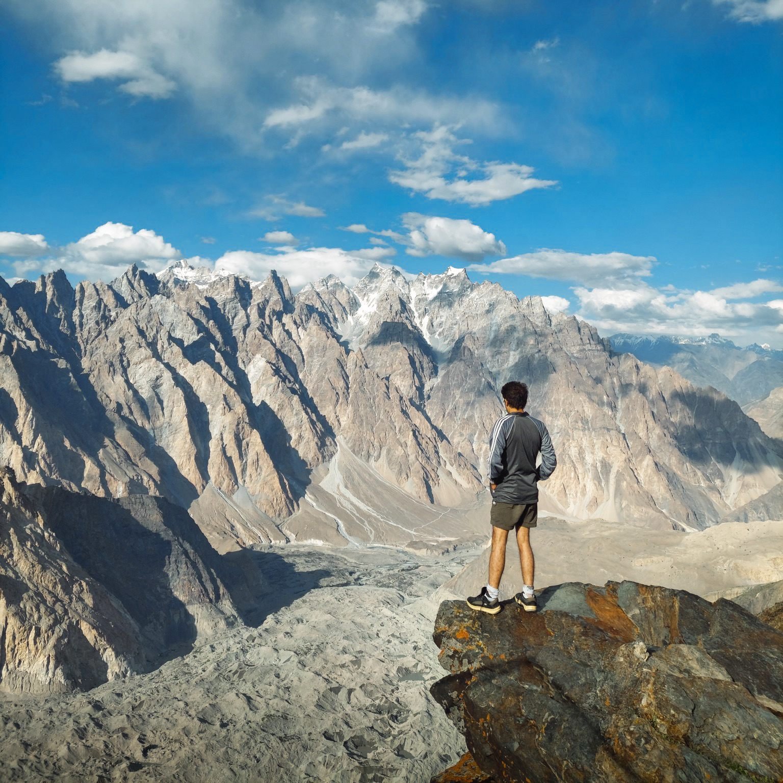
A hiker looking down at the Passu Glacier from a ridge above

Upper Hunza · Gilgit-Baltistan

Upper Hunza Photography Expedition

7 days Easy Difficulty: Easy, 1 out of 4 Max 6

Seven days built around light rather than distance — pre-dawn starts, long stops, and nothing scheduled between eleven and four.

$1,180 per person

Next 28 Sep · 2 places left

Before you go

The practical part.

Getting there
Fly Islamabad to Gilgit (55 minutes, weather-dependent) then drive 2.5 hours up the Karakoram Highway. By road from Islamabad it is 18–20 hours, usually broken at Chilas or Besham.
Permits
No permit for Hunza itself. Foreign nationals need passport details recorded at police check posts along the KKH — your operator handles this.
Connectivity
4G in Karimabad, Aliabad and Gulmit via SCOM and Zong. Patchy above Passu. Most guesthouses have wifi that works in the evening.
Seasons
Spring (March – May), Summer (June – September), Autumn (September – October)

Within Hunza

Go deeper.

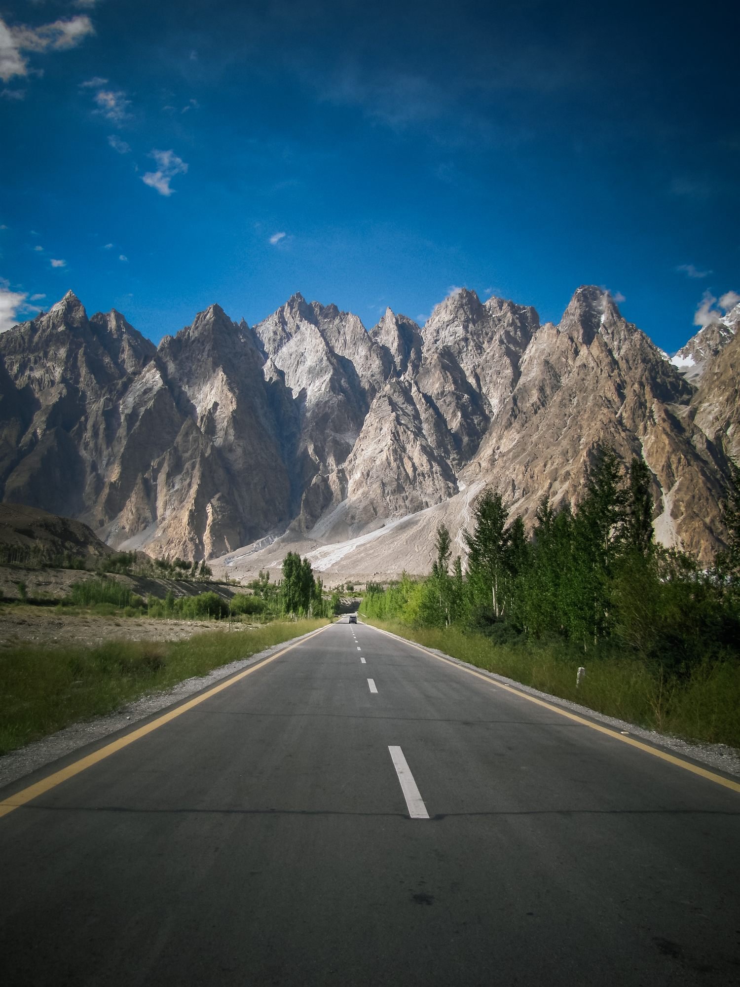
The Karakoram Highway running straight toward the jagged Passu Cones

2,500 – 4,693 m

Upper Hunza

Glaciers on both sides of the road, and the Chinese border at the top.

Comparing