Construction began in 1959 and the road opened to the public in 1986. Between those dates, somewhere around 810 Pakistani and 200 Chinese workers died building it — the usual figure quoted is one life for every two kilometres of road, and it is probably conservative.
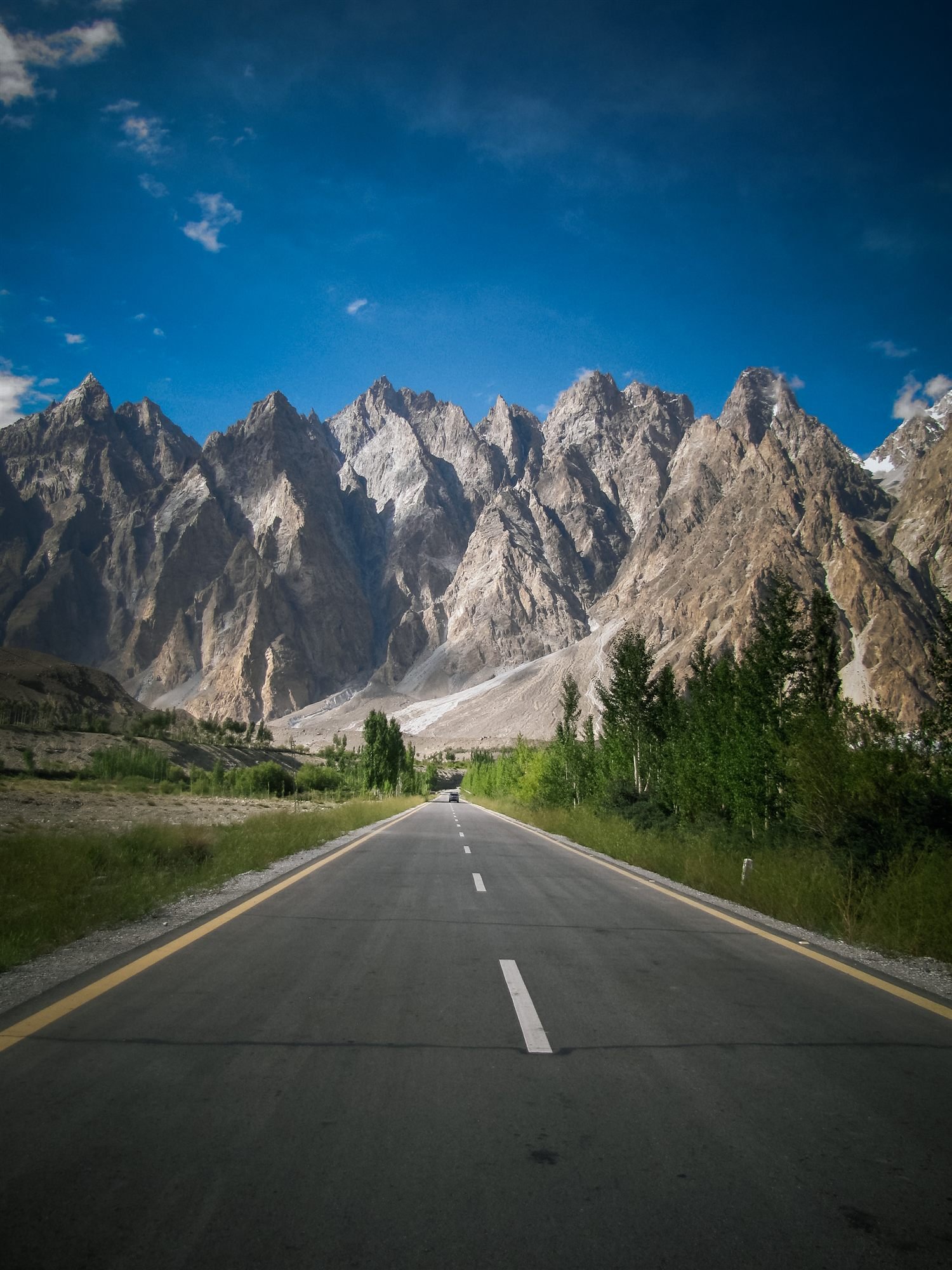
The last eighty kilometres, from Sost to the pass, are the section that most obviously did not want to exist. The valley narrows, the rock is unstable, and the road climbs 2,000 metres. There is a Chinese cemetery at Gilgit for the workers who died on the southern sections; the northern ones are mostly commemorated nowhere.
What the road replaced was a footpath. The Silk Route through this valley ran along the cliffs above the river, and sections of it are still walkable above Ghulkin — a metre wide in places, with a drop that explains why caravans took three weeks to cover what now takes four hours.
At the top there is a stone gateway, a Pakistani flag, a Chinese flag, and a queue of people photographing the altitude sign. It is 4,693 metres, it is windy, and it is the highest paved border crossing in the world. Almost nobody who gets there thinks about the twenty years.